


Greenland Expedition 2005.
Tornarssuk Mapping
Below are a few maps to give an idea of the area (red circles) covered by the expedition.
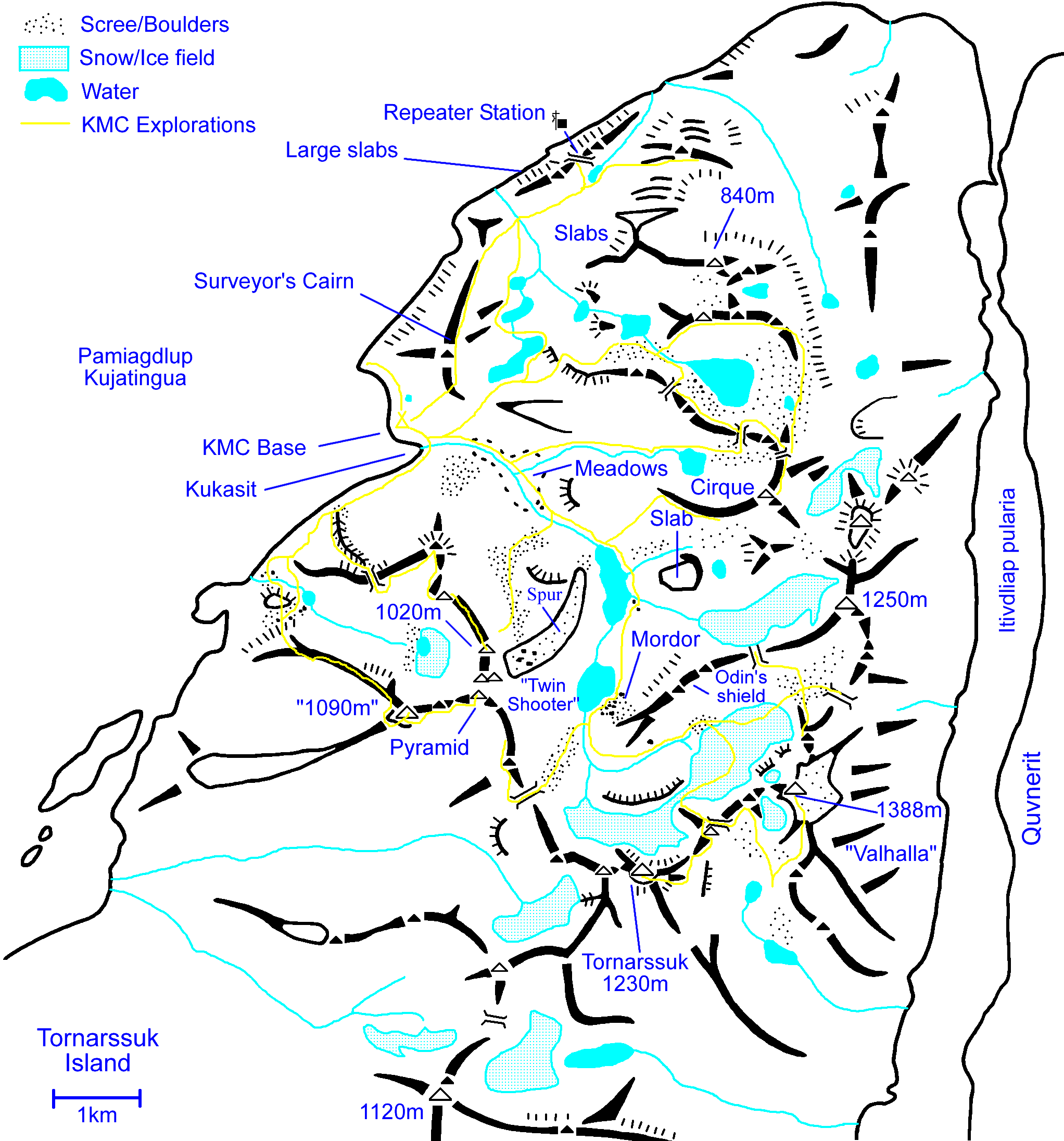
Routes of the various excursion made by team members
|
|
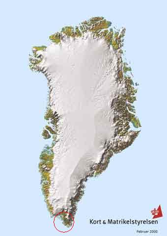
Greenland Overview |
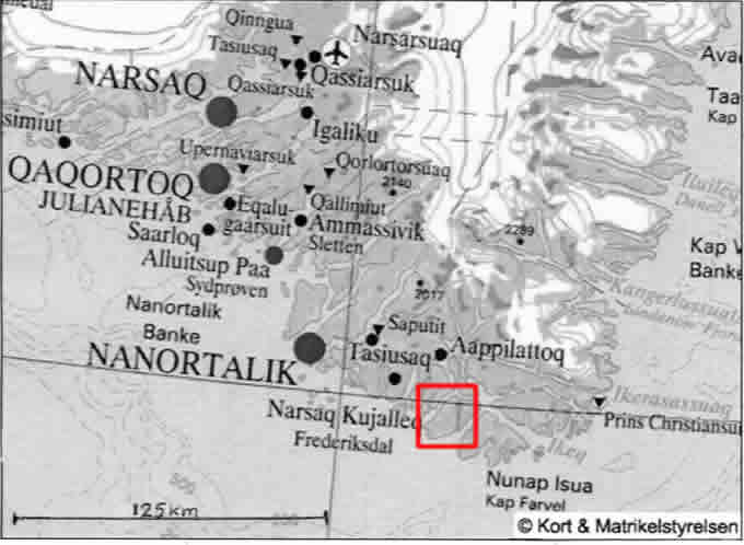
Southern Tip
|
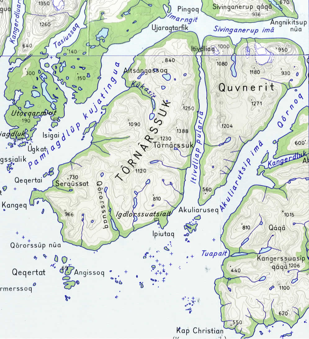
Tornarssuk Island [1:250,000 Saga Maps] Actual base: Mouth of the Kukasit valley.
|
|
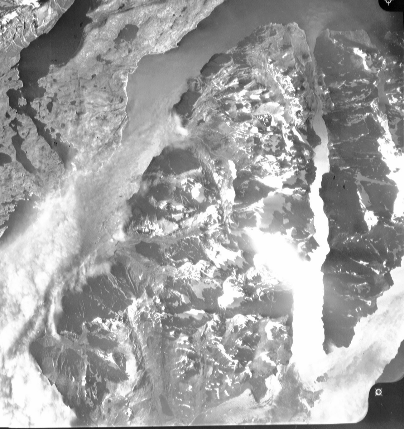
Aerial View (large file) from a 1:150,000 KMS Aerial photograph.
|
|


