Cape Wrath Trail Part 2 (North)
By Paul Evans
Walking the south section of the Cape Wrath trail had left me keen to do the rest of it, so as the end of summer, and the end of “peak midge”, approached, I started my planning for “part 2”. My idea was to start at Cape Wrath, as access is somewhat problematic, and there was less risk of finding it shut walking N to S than the other way around. I planned to walk south to Achnashellach, thus doing the route in two halves and “meeting in the middle”. As often happens, reality had other ideas.
Over 2 days I drove to the CC hut at Riasg, then took a bus to Inverness, a train to Lairg and another bus to Durness, the closest village to the Cape.
Day 1 – After staying overnight at a B&B in Durness, I walked from Durness down to Keoldale, to get the foot ferry over the Kyle of Durness. This doesn’t always run, stopping in the winter months, when the sea is rough, or when the MoD are blowing things up in the firing range. Fortunately none of these applied today. Once off the ferry, you get a minibus which takes you 11 miles, on a very narrow single track road, to the Cape. This must be the most remote point on the British mainland. I arrived there by 1pm, had a quick look round, shouldered my rucksack, and set off south to Sandwood Bay. The first mile was on road, after that it was rough, boggy and undulating ground all the way to Sandwood. I had 3 options, a bothy at Strathchailleach, camping at Sandwood, or another bothy at Strathan. With grey skies, rain threatening, and windy conditions that would make a night in a tent noisy, I decided to press on to Strathan bothy, working on the theory that if the weather got worse, it would be less time in waterproofs tomorrow.
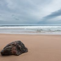
Having reached Sandwood at around 4PM (picture opposite, looking out into the Atlantic), the extra few miles to Strathan bothy were over more tough and boggy ground, I reached the bothy just before 6PM and settled in – I was the sole occupant, a fairly regular occurrence. Day 1 was 11 miles and around 1100 ft.
Day 2 – despite my fears, this was a glorious day, in fact the best weather I had on this trip. My experiences on the south leg had spoiled me; the conditions on the north leg were much more like typical conditions on the CWT. Having “gone the extra mile” – in fact the extra 3 miles – on day 1, today was a short day. Starting from Strathan, I took the “main route” option over the pass west of An Socach, rather than the Blairmore alternative which many folk take. I had 4 miles to go to reach the road at Badcall, this took me 3.5 hours! This section is not easy walking. No defined track, very rough and boggy ground, and tricky navigation.
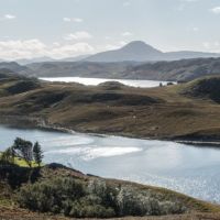
However being a glorious (albeit windy) day, the views south into Assynt, west out to sea, and east towards Foinaven were stunning, and some of the time taken was due to many stops for photography. Below are Loch Inchard, Foinaven and Arkle.
Finally got to Badcall around 12-ish and stopped at the London Stores (a legendary CWT institution) for refreshments. Then I set off down the road to Rhiconich, where I had booked into the hotel (I’m getting on a bit, I need my comforts when I can get them!). Around 7.5 miles, 700 ft. of climb.
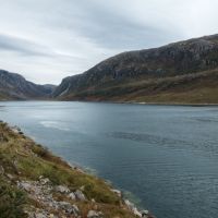
Day 3 – start of a frustrating stretch, with the weather not playing ball. Conditions worsened overnight, with much rain falling. On day 3 I was due to cross a river which is dangerous in spate, the Garb All. There was no alternative safe walking route, so reluctantly I took the minibus from the hotel to Lochstack Lodge, missing out the iffy stretch. From Lochstack lodge the CWT takes the road to Achfary, and then heads uphill and SW, on a good track, over the ridge to Loch Glendhu. The track forks and I took the eastern branch which drops you down to the shores of Loch Glendhu, and east along the N shore of the Loch to Glendhu bothy at the head of the Loch (photo below). This is a magnificently situated bothy, in the heart of fabulous scenery.
I arrived there relatively early, and was thinking of pressing on to Glencoul bothy, thus shortening the next tough day. However, the weather deteriorated again, and I opted to stay put; again I had the bothy to myself.
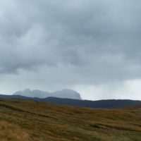
Day 4 – I woke up after a wild night, very glad I hadn’t camped. The planned route for today went round to Glencoul bothy over a tough trackless spur, up past the Eas A Chual Aluinn waterfall, crossing another river dangerous in spate, and then over a 1900 ft. pass. This is supposed to be one of the finest stages on the CWT, and I was really looking forward to it. Sadly it was blowing a gale, and the innocuous streams of yesterday afternoon were raging torrents this morning. Sticking to plan A did not sound like the brightest idea, and I decided to opt for the longer safer option described in the guide – back along the Lochside track to Kylesku, up the road to Loch Na Gainmhich, and then across the shoulder of Glas Bhein to drop down into Inchnadamph, where I had booked a night in the hotel. The waterproofs got a thorough workout today. 14 miles and 1100ft. View of Suilven through the rain below.
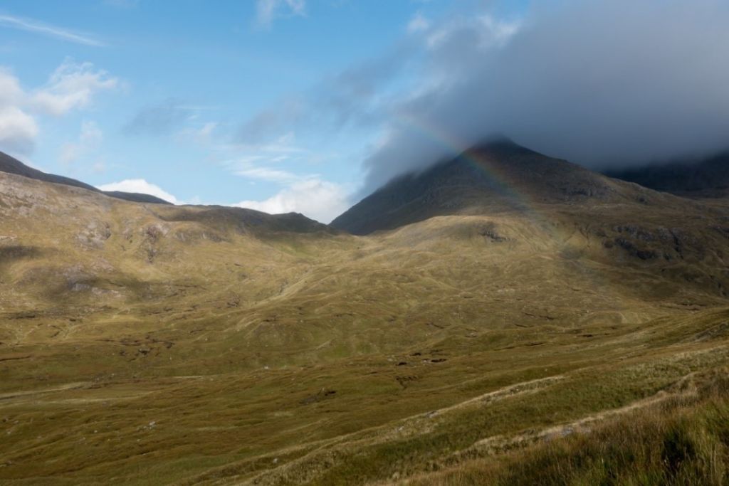
Day 5 –mostly dry, with some sun. A long day, 23 miles and 1600ft. The difficulties are relatively short, and walking N to S, they happen early in the day. Off before 8, the day starts with a climb to Bealach Trallgil, south of Conival and Ben More Assynt, with the final section of the climb and the descent being trackless, rough and boggy. Picture below is a rainbow over Conival. Once the descent is over, there are good paths and tracks all the way down to Loch Ailsh, and onwards (with occasional boggy bits) all the way down Glen Oykel to Oykel Bridge, which never seems to arrive. I finally reached Oykel Bridge around 4PM, and decided to press on to the Schoolhouse Bothy at Duag Bridge. Waterproofs were needed again on the final leg after Oykel Bridge, and I was very glad to see the bothy just after 6PM. Here for a change I had company – a couple of German lads on the CWT heading north.
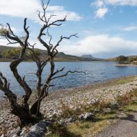
Day 6 – a shorter day, 16 miles and 600ft. I had breakfast in the bothy, and then headed off on the track to Ullapool. This is a good 4x4 track all the way, slightly uphill to start, and then flattening out for the long section past Knockdamph bothy and Loch an Daimh. Then over a slight rise, with the tops of An Teallach just visible over the intervening ridge. Finally a long walk out along Glen Achall, past Loch Achall (see photo below) to Ullapool. Today was dry, I was settling in to the trail after 6 days walking, and I was looking forward to the final 3 days in Torridon.
I’d booked myself into a hotel in Ullapool, and switched on the TV to look at the forecast for the next 3 days. At the end of day 7, I planned to camp in Strath Na Sealga near Shenavall, and day 8 involved another “dangerous if in spate” river crossing, south of Loch an Nid. I had 2 reasonably tough days to Kinlochewe, and then an easy last day to Achnashellach. The end was in sight….
Sadly the forecast was for severe gales on day 7 and heavy rain during days 7 and 8. There were no safer alternative routes to take. I would have really liked to complete the CWT in 2 sections, but the sensible option was clear. Those 3 days in Torridon will have to wait until 2017.
Gear notes – Iain Harpers Cape Wrath trail guide, and the two Harveys Cape Wrath trail maps, north and south sheets are essential. My Alltberg Tethera boots were superb, my feet never got wet. Osprey Atmos AG50 sac was extremely comfy. Camping gear was Wild Country Zephyros 1 lite tent, ME Helium 400 bag, Exped Synmat 7 mat, Alpkit Titanium stove & Brew Mug, Expedition Freeze dried meals. Clothes were tech t’s, Rab Softshell jacket, full waterproofs and gaiters. Weight of sac varied - max around 16kg, min around 13kg. On the south leg I used platypus water bladders which sprung a leak. On the north leg I used a Camelbak which was brilliant. I used a Sawyer mini filter to filter the water from streams, probably overkill. On the north section I used Alpkit full carbon walking poles, which must be the bargain of the century at £50. You could theoretically stay at bothies etc. for the whole route, but safety in such remote areas really demands that you carry a tent, even if you don’t use it much.
