Peak District Walk
Members: Christine Beeston, Oi Ding Koy, Lester Payne, Dave Shotton, Dave Wylie
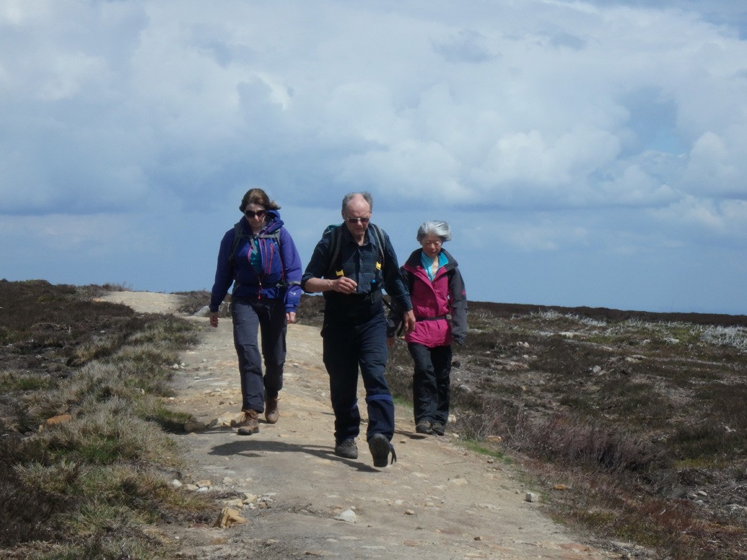
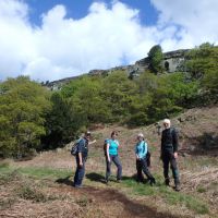
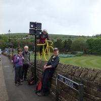
Perhaps it was the rather unpromising forecast and the apparently remote location, perhaps it was the belated publication of my meet preview, but in the event only five of us assembled at Low Bradfield’s public car park next to the cricket pitch. However, apart from a brief and light shower while crossing Broomhead Moor, we were blessed with fine (though at times breezy) weather for most of the walk, and had an enjoyable day out in some less-familiar territory.
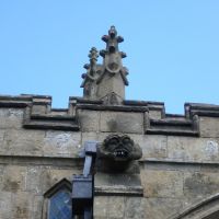
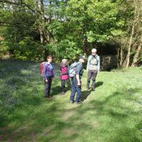
Setting off just after 10am, we first followed a narrow footpath on uneven flagstones ascending along the bank of the nearby small stream, and then continued by other paths to join Smallfield Lane for a few hundred yards up to the Agden Reservoir, from where we turned off up a steep woodland path towards High Bradfield. Our first point of interest was the imposing conical earth mound of Bailey Hill, generally accepted to be a former Norman motte-and-bailey castle. We ascended and then descended this by a surprisingly steep path on the south side, and then continued to the parish church of St Nicholas in High Bradfield. Here we stopped to examine one of the various ‘flood graves’ commemorating local victims of the ‘Great Sheffield Flood’ of 1864 (caused by the catastrophic breach of the Dale Dyke Dam), as well as some impressive gargoyles on the church building; as we left via the churchyard gate, we also passed the unusual Watch House, built from local gritstone to provide shelter for concerned relatives and friends on the watch out against body snatchers or ‘resurrectionists’ engaged in the lucrative but grisly trade of stealing recently buried corpses for sale to local anatomists. (Some sources date the Watch House to 1745, others to 1831; however as the business of bodysnatching was largely dependent on the demand for fresh cadavers created by local medical schools - and the one in Sheffield wasn’t founded until 1828 - the later date may be more plausible).
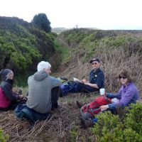
Leaving the church in High Bradfield, we walked up Brown House Lane for about ¾ mile and then took the footpath heading towards Rocher Wood and passing below the rather esoteric crag of Agden Rocher (somewhat green and overgrown these days, and notoriously loose in parts - home to such routes as Jericho Wall (as in “... came tumbling down”?). We followed more footpaths NW passing just above the abandoned farm buildings of Rocher Head, then crossed a minor road (Smallfield Lane again) and picked up another path leading through a herd of Highland cattle (and a hefty but docile bull) to the ancient earthwork of Bar Dyke. This is generally taken to be a boundary ditch dating from around the post-Roman/Dark Ages eras, but is possibly a defensive structure of greater antiquity; whatever the intentions of its builders, it provided handy shelter from the strong breeze for some welcome late elevenses.
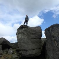
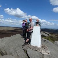
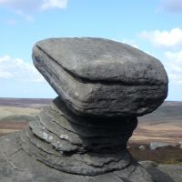
From Bar Dyke we crossed over Mortimer Road and continued along the ‘Dukes Road’ path (apparently named after the Dukes of Norfolk) heading westwards; this at first took us along Hurkling Edge, where we stopped to look at the Hurkling Stones (not to be confused with a completely different set of stones of the same name, visited on a KMC ‘Sixteen Stoner’ walk in June 2013 and located some 5 miles to the SW overlooking the Ladybower Reservoir). We carried on across Broomhead Moor to Flint Hill (although we didn’t actually visit the rather indistinct heather-covered summit), and then followed the path south-west; we stopped for lunch at a small but prominent set of stones overlooking Cartledge Bents. The path then led us southwards to the more prominent rocky outcrop of Back Tor (which has been visited on other club walks, generally approached from the Derwent Reservoir side; however Lester pointed out that it is not the only Back Tor in the area, as there is another one about 5 miles to the SW (again!) on the ridge between Mam Tor and Lose Hill). We scrambled up to the trig point on the summit of Back Tor, then continued south for a few hundred yards down towards Bradfield Gate Head, where we turned left at the boundary stone and followed the path heading east which eventually turned into the Foulstone Road track. (It has to be said that we saw very few other walkers between High Bradfield and Back Tor, where a few other people joined us from other directions, in particular from the more popular Lost Lad).
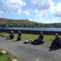
The Foulstone Road track rejoined the Mortimer Road at a point near Strines Bridge, where we turned left and followed the road until we turned down the path down to the Strines Reservoir; here we took an afternoon break by the dam next to the deserted farm buildings at Brogging (or Broggin). In the distance could be seen ‘Boot’s Folly’, also known as Strines or Sugworth Tower; this was built by Charles Boot of nearby Sugworth Hall in 1927, possibly as a Depression-era job-creation scheme, although it has also been pointed out that from the top of the tower he would have been able to see the final resting place of his first wife, who had died the previous year and is buried in the churchyard at High Bradfield. Charles Boot was a prolific house builder, civil engineer and property developer in the interwar years (having inherited and expanded the Henry Boot & Sons construction company founded by his father); he also went on to co-found the Pinewood Studios film production facilities in the 1930s.
From Brogging, we continued down the path cutting diagonally across the embankment of the Strines Dam and along the NW shore of Dale Dyke Reservoir; some distance downstream of the current dam, we found the memorial and information panel at the location of the old Dale Dyke Dam (also marked with a stone marker engraved CLOB for ‘Centre Line of Old Bank’) which broke during the initial filling of the reservoir in March 1864, unleashing a wall of water which reached parts of the city of Sheffield and caused the loss of around 250 lives or more. This remains one of the worst civil engineering disasters in British history. When the dam was rebuilt in 1875, it was as suggested located somewhat higher up the valley with the reservoir consequently being on a smaller scale. (I should perhaps add that a few of us had previously walked the section between Back Tor and Dale Dyke Reservoir on a club walk in March 2009, led by Iain McCallum)
After a walk of some 12-13 miles, we regained Low Bradfield just after 4.30pm. The Schoolrooms café had just closed, but fortunately some very agreeable tea and cakes were still available in the village store & Post Office (a multipurpose establishment which offers teashop facilities as part of its commendable range of services). As we enjoyed our refreshments sitting at the tables inside, spots of rain appeared on the outside of the window panes overlooking the cricket pitch and we realised we had finished just in time to miss the forecast rain before heading home!
Dave Shotton
