Sun 9th Jan, 2011
Macclesfield Hills
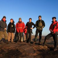
Members present: Dave Shotton, Iain McCallum, Alan (H) Jones, Joe Flynn, Bob Kelly, Dave Dillon, Ding Koy, Dave Wylie, Dave Bone.
Guests: Mark, Julia, Suzy, 1 Dog.
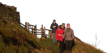
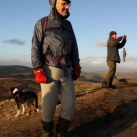
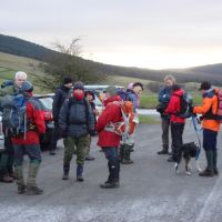
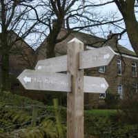
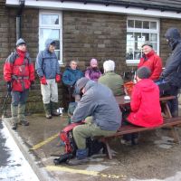
Well, again there was snow in the car-park but this time not enough to stop us, but instead a great turnout. Still, Teggs Nose Car Park at 9:20 on a Sunday was bitterly cold, with a lazy wind swirling a faint dusting of snow about the tarmac under grey skies. Shortly after the appointed hour we got off to a great start – the meet leader heading out of the car park entrance while most of the rest headed in the opposite direction. After reuniting the flock, we picked up the Gritstone Trail heading North on the fields section. Here humans had to stand aside as the dog took the stiles at a leap. Soon it was on to the ease of the Water Board road to Lamaload Reservoir where the chatting was also easy. A steady climb to the head of the field to outflank the water, brought out the first mutterings of discontent but no matter, 300m of road allowed a regroup at the foot of a path into more open country (and more ascent). There was still a frost in the shelter of the trees here as we wended our way towards the site of Eaves Farm (on a 1986 map). Near the non-existent remains, it seemed a good point for Elevenses in the shelter of a wall, facing the hints of brightness.
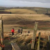
At this point Alan announced that the dog had confessed to leaving the GPS out in view in the car, so he was going to have to go back to sort it. One down, we were soon pulled into a straggly line on the first real ascent onto the western shoulder of Shining Tor, Ding taking on the role of the dog, charging ahead and dropping back to pull us along. If you haven’t been up this side, there’s still another 1.5km to the top with another steep pull after a dip. We didn’t really wait as it was icy about with a very stiff, cold wind, but getting increasingly brighter with some sunny intervals (not that it had much effect against the wind-chill). The Christmas snow had just about all gone though. Another regroup at the summit Trig point, giving the last to arrive a generous 30sec before setting off briskly in the direction of the Cat and Fiddle – no place for a lunch stop here!
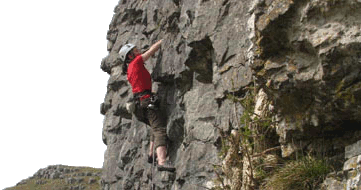
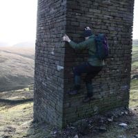
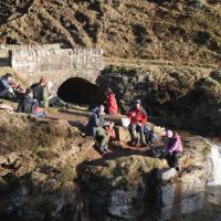
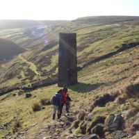
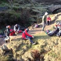
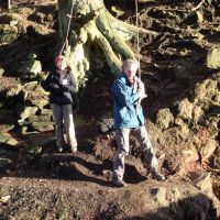
The Pub wasn’t supposed to be a lunch-break either so we stayed outside with visits inside. I guess it was fractionally more sheltered so with official lunch-break deferred until the Dane valley at the earliest, we dragged Dave S away from his (sneaky) pint, and took off south on the long track to the A54. Because this was the coldest section with the continual exposure to the westerly gale, we made good time to the A54 crossing, where the wind chill dropped and the sunshine’s feeble warmth wasn’t being blown into the North Sea. A chimney in the old mine workings took the fancy of the human spiders, while the combination took the fancy of the human cameras. A pleasant if squelchy walk took us to the 3 Shires Head bridge, where we took a few steps into Derbyshire to sit in the sunshine for proper lunch. The children among us rushed lunch to play on the rope swing with the slender tree branch creaking in complaint.
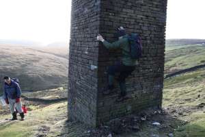 |
| Leaning tower of pizza |
With the sun dipping close to the edge of the hill, it was time to leave, crossing the A54 again on the descent into Wildboarclough. Bringing up the rear, I directed the stragglers onto the start of the steepest ascent of the day up to Shutlingsloe. During this Alan met up with us on his own extra 9mile circuit. I arrived even closer to the back this time (well, I had been flattened by the Flu the day before and it wasn’t done yet), but after taking in the views was the 2nd away, thus stretching the KMC even further across the moor. Closing up at the edge of the forest for the intricacies of the forest trails, we were soon following Iain’s alternative route through the forest, reducing the road miles – new trails seem to have appeared since I was last there. Now into twilight we eventually straggled across the foot of Langley Reservoir, me ‘leading’ from near the rear, and back into Tegg’s Country Park. Those ahead not in the know took the obvious path to the left, when the rest, about to be in the know, headed for the direct path at the back of the car park, hidden behind a car. This path wandered through the Gorse, and slanted across the western face of the hill, Ding in full flow disappearing into the distance from the leader who was giving left-right directions while trying to keep the few behind in view. This got us 2 in ahead of the stragglers on the alternate route, which we joined at a convenient seat so Ding could taunt the alternate group rear guard, and I could try to get some oxygen molecules into my lungs. It was a fine view in the advanced twilight, which became even finer on reaching the summit quarry with the lights of Stockport and Manchester twinkling away under a clear, coloured sky. Much darker now, with KMC members scattered about the Park, I could only hope I was with the last group as we passed the quarry exhibits. I think it was Joe the Leprechaun who spirited Dave S away with a proclamation of the finest view of all from the summit booming out from somewhere in the dark above us - since as we arrived back at the car park, with some of the alternate group already on the road home, Dave was no longer with us. It was quite dark now at 16:30, but just as I had dug my torch out to go on a hunt, Dave turned up having had difficulty in working out the direction of the car park. I can only hope that the others were correct in counting their group in! It had turned out to be a good circuit so thanks to those who came and made it a great day.
Dave Bone
Meet Promo:
Time to shake off the festive season lethargy and trim down a bit. Here is a local walk with some good up and down, and 99% of it on paths/road (unusually) to the East of Macclesfield.
Meet at the Tegg’s Nose Country Park Car Park at GR SJ949732 (on 1:50000 map 118 – 119 also required). Some roadside parking may be available further on – useful if you think you’ll return after dark! Coming out of Macclesfield on the A537 Buxton road, fork right at the top of the long straight and follow it for ~1mi. If snow blocks the roads (contact meet leader evening before if that looks likely), we’ll meet lower down in Macclesfield 2mi away. Start time 10am.
Route in short: N on the Gritstone trail, Lamaload Reservoir, Eaves farm (extinct), Shining Tor (559m), cross the A537 (no sneaking off to the pub), then head S for 3 Shires Head (crossing the A54 for the 1st time). Pull W out of the valley to cross the A54 again, dropping down to Wildboarclough. Up to the top of Shutlingsloe (a fine little 506m top) then N over the moor (the grouse act strange here), down through the forest to the road. The next bit may be varied on the day, but one option is to take the road to Langley, followed by the steep climb up to Tegg’s Nose and the car park, with a bit of industrial archaeology. Plenty of options for shorter round trips if needed (if there’re thigh deep snow drifts?).
Total distance around 12.5miles.
Dave Bone
