Sun 17th Nov, 2013
Dales Overground, Underground
Present: Dave Bone, Dave Shotton, Andy Stratford, Al Metelko and Dave Wylie.
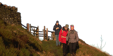
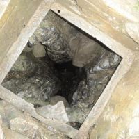
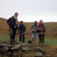
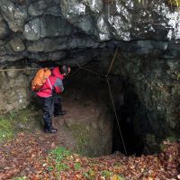
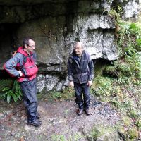
It was a grey, dry start in Manchester, but a grey world of variable mist, heavy low cloud and patchy drizzle past Lancaster yet clear enough to see the early arrivals. With the 9:45 arrival of a shorts clad Al (he did however produce some boots), we were away up the track shortly after time. We shortly passed Bull Pot farm where no Cavers seemed to be stirring outside, and immediately had our first gawp of the day, no Bulls seen in this Pot. This set the scene for the day, and there were plenty of holes to look into, so the grey sky and limited views could go largely unnoticed. Past the Limekilns and then left to the enclosure of Cow Pot – another diversion was in order. Next, the bolts, through drilled holes and hatchway of Lancaster Pot were quality inspected and photographic evidence recorded.
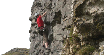
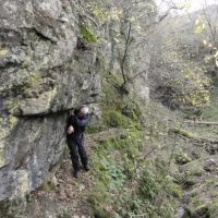
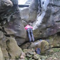
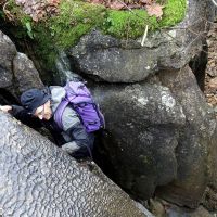
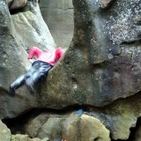
Over the moor to Ease Gill – fortunately it was a ‘dry’ river bed so at least no water was flowing. Nevertheless, the drizzle had produced treacherously slippery rock so proceeding downstream was a little delicate. The first challenge was refused – down-climbing a ‘dry’ waterfall. I’d dropped down to the first step and tried the important hand-jam – but it oozed out under pressure. So a detour around was necessary before returning back up the river-bed to look at the rock architecture dotted with the odd bolt. Here was the 2nd challenge – mantleshelfing back up the extremely smooth and slippery first step of the Fall. Difficulty varies according to the height of the cairn underneath, but Andy and Dave S accepted and succeeded after some fine beached whale (or is that Walrus?) impressions. Now to get down again…
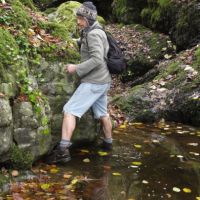
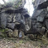
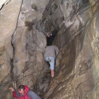
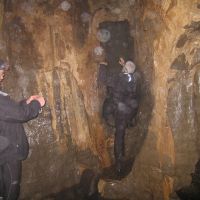
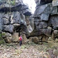
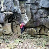
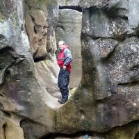
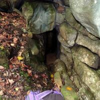
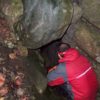
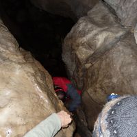
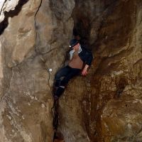
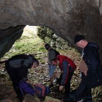
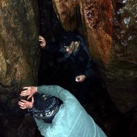
Further on down the river-bed the walls closed in above us above Ease Gill Kirk. Now the wet autumn showed itself in the form of water filled bowls that could be circumvented with increasing difficulty apart from one last where a temporary escape up the left bank had to be made. A (precarious) return was necessary for the highlight at the next waterfall. This was never down-climbable but a small hole in the side of the bank was pointed at. Yes, a subterranean diversion to the next level… Five KMCers duly squeezed and climbed down into a open chamber, more small caves to look at before continuing on around a terrace high above a swimming pool, and then down to the river-bed again. A perfect aqua-park though Andy got a little wetter than me on some of the slides – strangely Al opted for a standard bipedal route. Falling backwards whilst traversing the pool perimeters was not an option. The pools were bigger now near the resurgence of Leck Beck, so we were forced out onto the moor early. Time for an ascent, guided by the wall, onto Leck Fell.
Time then to examine a chain of Pot holes starting with the huge open cavern of Gavel Pot. Scrambling down to the first floor level we could examine the fixed rope descending into the dark amid the sound of rushing water. On up the chain with the shaft of Death’s Head, and the natural bridge of the eye-holes that had to be crossed and looped around underneath. Dave S just had to go widdershins. Up at the shaft of Rumbling Hole, the waterfall wasn’t the only rumbling going on. Just before 12 without elevenses and Andy plus Al refused to go further without a Banana. Once the rumbling was muted the party could be persuaded onwards with the promise of a planned lunch spot in half a mile or so. And so it came to pass, lunch was partaken in the enclosure of Lost Johns’ Cave (two of them got lost…) by a sun trap wall. What sun?
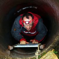
Well that was good timing, for as we ascended the fellside into the mist the drizzle returned leaving us to grope for the next wall crossing and a right turn in the bog for the open bowl of Ireby Fell Cavern. Sunk in the floor of this is an open concrete tube with an inviting ladder descending. Andy took this up and had a good look at the crawls at the bottom before returning to the surface. All was quiet below. On then to Marble Steps Pot in a beautiful stand of trees, another open plunging shaft with various other entrances. The drizzle had eased leaving a darkening, grey world – now we were on the romp north along the Turbary road, meeting the first people of the day – two walkers and a dog. Next, we were overtaken by a dog, leading a blue (clothing that is) female runner. A cruel dog that, because at the next gate we met them on the way back. Not long after there’s a sound of underground water down a small hole and beyond a large unfenced open hole with a river in the depths. This impressive feature with sub sub-tropical rain forest in the depths was circumnavigated and photographed before the next obstacle – crossing a wall as a short cut. I think it was filled in as I couldn’t find my previous gap in it. However, safely past we gathered at the top of the enclosure of Yordas Cave, leaving sacks here. A precarious swing round the wall end above the river gained the interior where we quickly descended to the main cave entrance (Cavers have 2 other options) assuring those who hadn’t been before that it was well worth it.
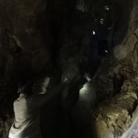
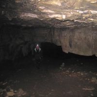
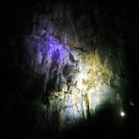
A few strides into the darkness of the large entrance had us stop to let the eyes adjust before donning headtorches – Andy discovering why we had stopped when his torch immediately illuminated a downward jutting portion of ceiling in front of his eyes. But a huge cavern opens out beyond this, and following the shallow river takes one to a fine waterfall in a hidden chamber. Some time was spent wandering away from the cares of the world before they came from out of the earth and regained the sacks. Now it was really gloomy and the cloud down with its drizzle – whoa – 15:40. Now for the OVERground – compass in hand heading uphill in file, hopefully on course for the stile at the top of Gragareth ridge. Great things are compasses – stile duly located at 16:30 but it was now time for a choice – the original route around the ridge OR the short direct route to Bull Pot farm. OR was the unanimous choice so setting the compass again (map barely readable) for an aim-off for the bridge over Ease Gill, we headed downhill through the darkening murk. There just seemed to be one wall/fence after another to cross as best we could, given we couldn’t locate the gaps or gates that are there in daylight. We dropped out of the cloud and the heavy drizzle eased. Headtorches came out for the final steep drop to the Gill, just 100-200m right of the bridge.
Salvation, for a rough path marked by white topped stakes leads up and over the moor to Bull Pot farm. Having gathered the flock we separated again before regrouping at a stile and loose plank (don’t walk this one Andy). Onwards from stake to stake we went, stretching out into two groups. After some time I turned to look back. Oooh! Five torches bobbing over the moor behind the lead 3 of us! The moor is haunted by the souls of lost Cavers. At long last we were back at the lights of Bull Pot farm where we headed out into the dark along the motorway track of the day’s start. Finally we were back at the lonely cars, in just light drizzle, at 17:50. An amusing day for most I think, good to get out and thanks to those who made the effort to look around somewhere different. It didn’t turn out as wet as the forecast as a bonus. Some now know where Barbondale is!
Dave Bone
Meet Promo:
Come to the Yorkshire/Lancashire Dales for a Sunday exploratory walk with some challenges! The Ease Gill and Leck Fell Limestone area is rich in caves and geological features and there’re some hills too.
The Start point is in Barbondale (this being the easiest to find and allows flexibility in the circuit) at SD 6525 8260 (Blindbeck Bridge). From Manchester, head for the Lakes M6 exit but turn right on the A65, pass Kirby Lonsdale, over the River Lune, immediately turning left on the A683 for Casterton. Continue and turn right for Barbon (all roads lead here but the 3rd sign is the shortest). Carry on straight through and up, on the Dent road. Where the valley opens out and the road takes a sharp left over a bridge is the meeting point. Roadside parking in laybys and verges (where dry) before and just after the bridge. Allow 1.5hours min. Walking commences at 9:45.
Equipment: A good, bright torch, second best waterproofs (could get muddy), a small, slim rucksack (a small stature helps), good boots (you’ll be wading to get to everywhere on the route) and map OL2 is the best, though Landranger 98 (+97) is OK.
Health and safety: we aren’t actually truly caving, but watch your step as there are plenty of holes large and small to fall into (some going down 50m+). Scrambling can be avoided (boring!).
We start up the track to the SE to Bullpot Farm (Red Rose Cave & Pot Hole Club) and turn right after the farm house. The route is eccentric – but, hey, work it out for yourself (join together the Cave features). This walk will be done come Hell, but NOT High Water! Down the path, left to some potted Cows going to Lancaster on trackless terrain (mandatory for my walks) via Ease Gill. Unless unlucky this will be dry – proceed down the actual river bed. The first challenges come at a dry waterfall. Look out for the bolts. Further down we have an unusual underground challenge to reach the Kirk. As much fun watching as participating… On actually meeting water (map doesn’t help) cross to the southern bank and some cross-country ends with a bang of the Gavel. Not surviving an encounter with the Big Meanie would result in looking Death in the face. After crossing the bridge between the eyes, and a Long Drop, stomachs will be a Rumbling Hole.
Next search for the Lost Johns if the suntrap can be resisted and then away up the fell, incur troglodytic Ire by shouting “Dive, Dive…” down the tube and run for the Marble Steps leading to the grand processional of the Turbary road. With a quick Jingle we arrive at the top of the enclosure and the highlight of Yordas Cave (well worth it if not visited before). So far it has been more ‘inverse’ mountaineering than hill-walking, but now it’s Up and OVERground. Back up the river and steeply up, trending left for an outcrop on the way to the ridge top. An optional out and back diversion to Gragareth, the highest point in Lancashire, is possible. Otherwise turn right for Great Coum, then down the ridge, Richard pointing the way, which should bring us to the outward track and eventually transport.
Excursion ~22km. Total descent ~745m. Time depends on you.
Dave Bone
